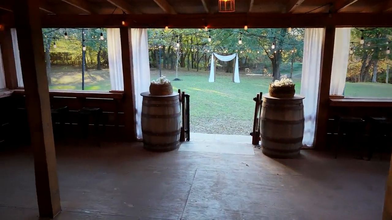
 0:59
Cinematic Tour
Aerial and grounds
 High Point Data Capture
Demo gallery
Aerial films, roof and property imagery, construction progress and photo-based maps, captured around Oklahoma City. Tap a film to watch it. Tap a photo to enlarge it.
Aerial films
A wedding and event venue shown from the air and on the ground. Films play on tap and stream as you watch.
0:59
Aerial and grounds
The Cinematic Tour is a one-minute look at the property. Below are shorter cuts, longer walk-throughs, and vertical versions sized for Reels and Stories.
Widescreen films
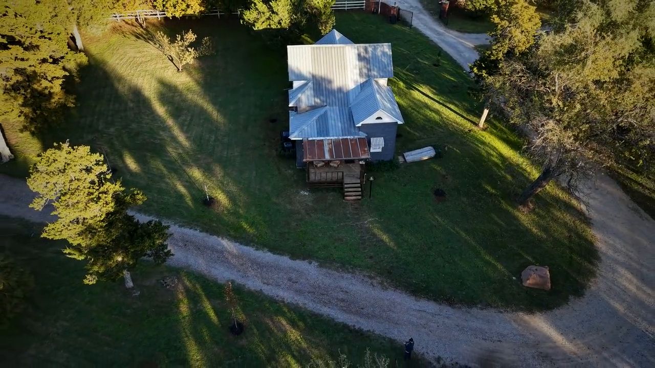 0:55
Aerial and bridal house
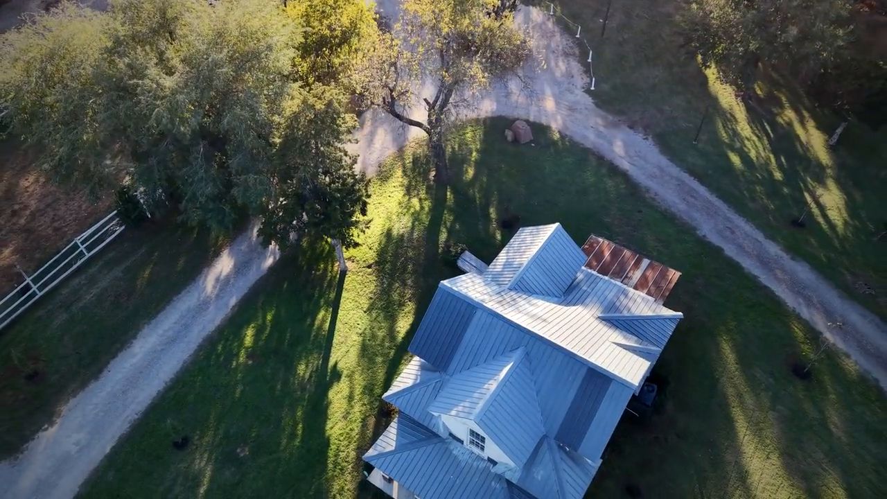 0:42
Sunset venue film
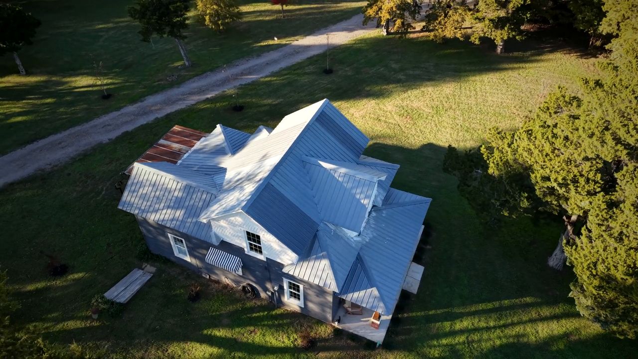 0:15
Quick reveal of the property
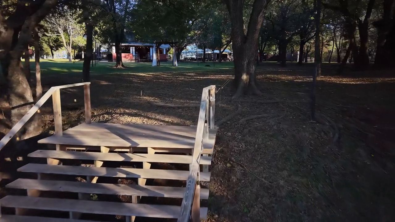 1:10
Walk the grounds from the water to the barn
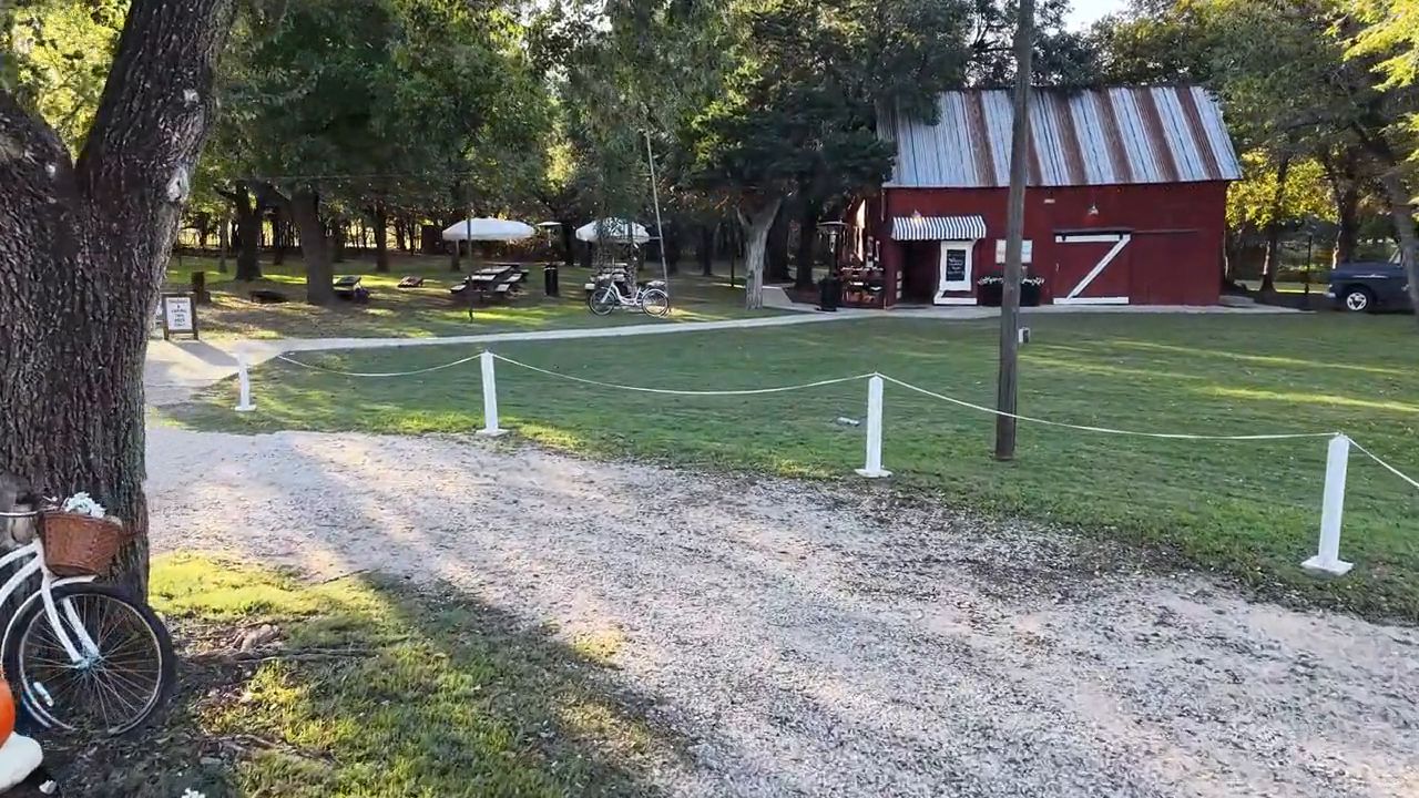 1:22
From the gate to the ceremony lawn
 1:42
The whole property, start to finish
Vertical reels
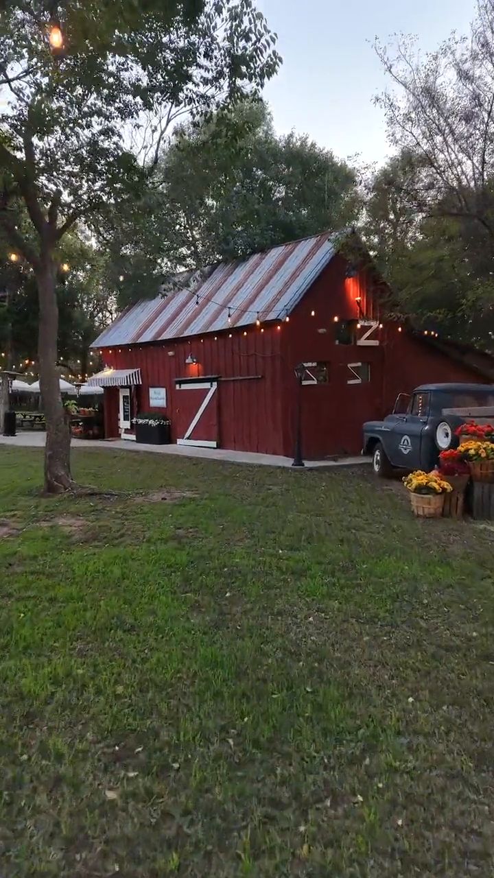 0:26
Vertical, made for Reels and Stories
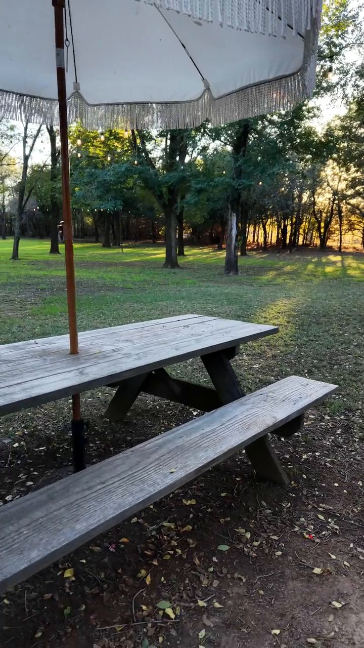 0:26
Vertical, made for Reels and Stories
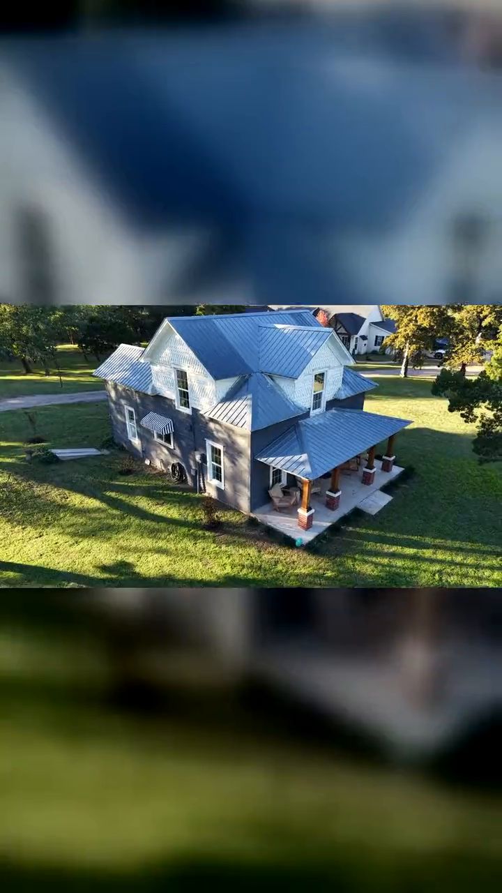 3:29
Vertical walk-through of the whole venue
Photos
A venue site map plus a few favorite aerials from the same shoot. Tap any photo for a bigger view.
Photos
Aerials from a recent listing shoot, including photos with the property boundary outlined. Tap any photo for a bigger view.
Boundary lines are approximate visual overlays for marketing, not a land survey.
Photos
Land, roofs, construction sites, maps and scenic aerials. Use the filters, then tap any photo for a bigger view.
Maps and 3D views are photo-based visual products, not licensed land surveys or survey-grade measurements.
Text, call, or email. You'll get a straight answer and a quote that fits the job.